Log in
All resources
Create a design
40,080 Free Images of 1890 Maps
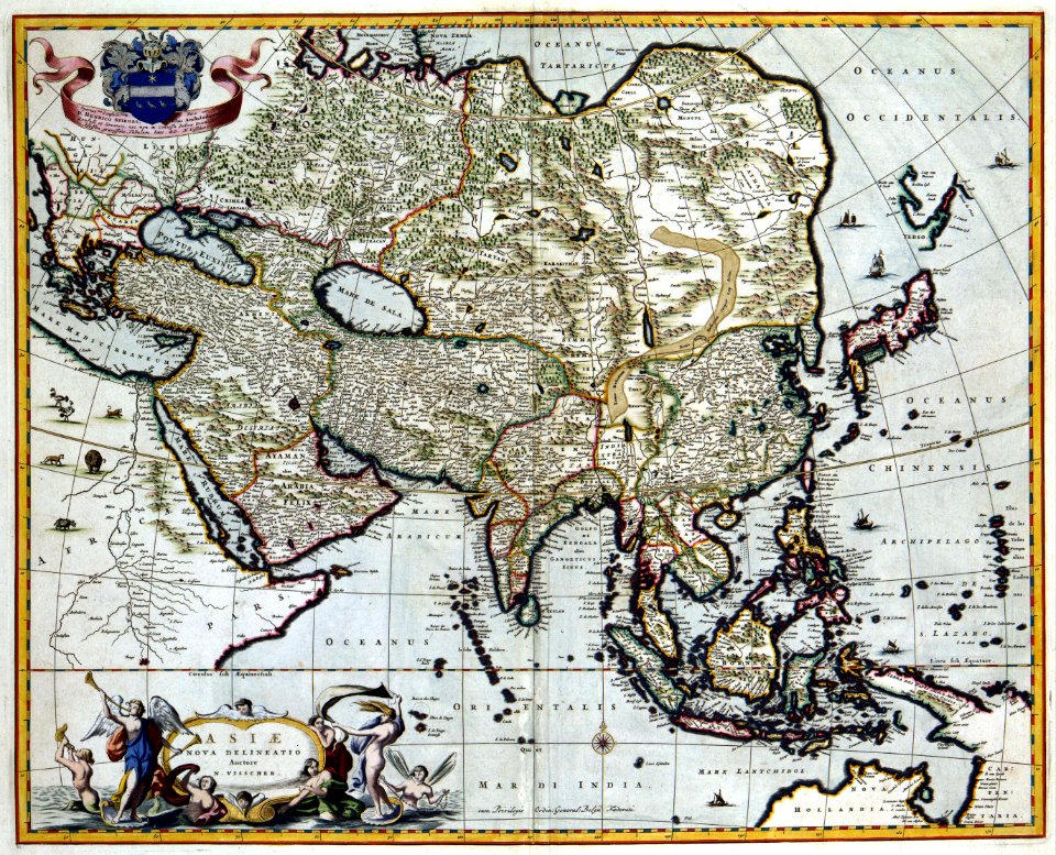
maps made in the 17th century
fonds ancely - bibliothèque municipale de toulouse - maps
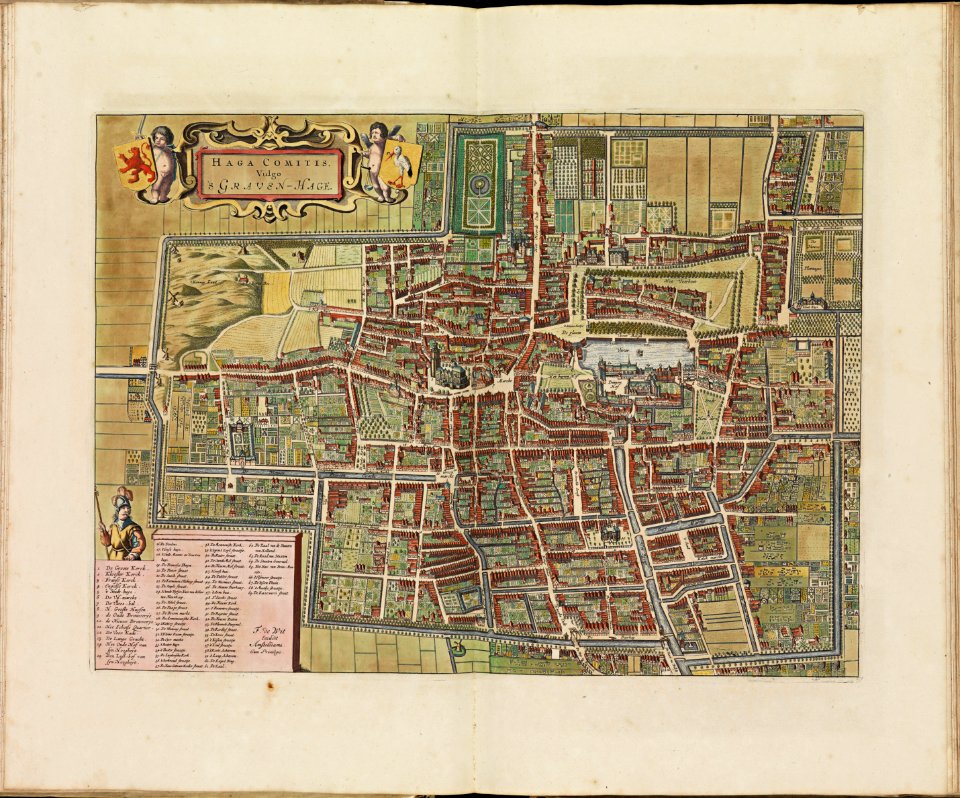
atlas van der hagen
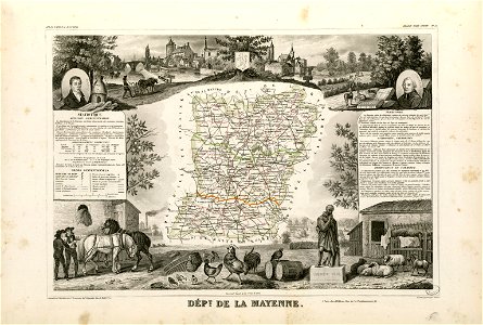
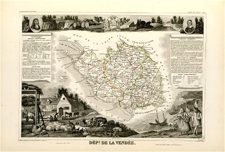
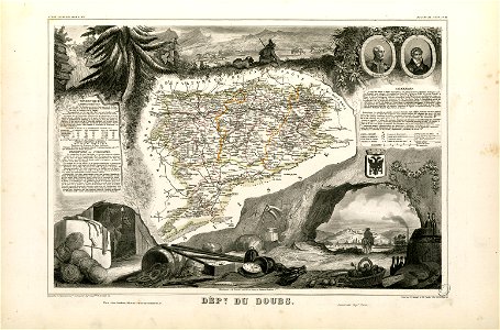
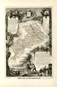
victor levasseur - maps of france
maps with cartouches
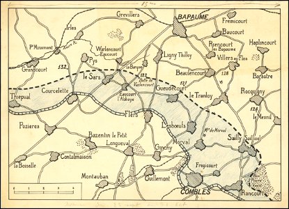
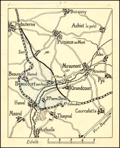
hand-drawn maps and views of world war i battlefields by h.m.
atlantis magni tomus tertius (biblioteca comunale di trento)
frédéric-auguste laguillermie
maps made in the 18th century
atlas van der hagen (volume 2)
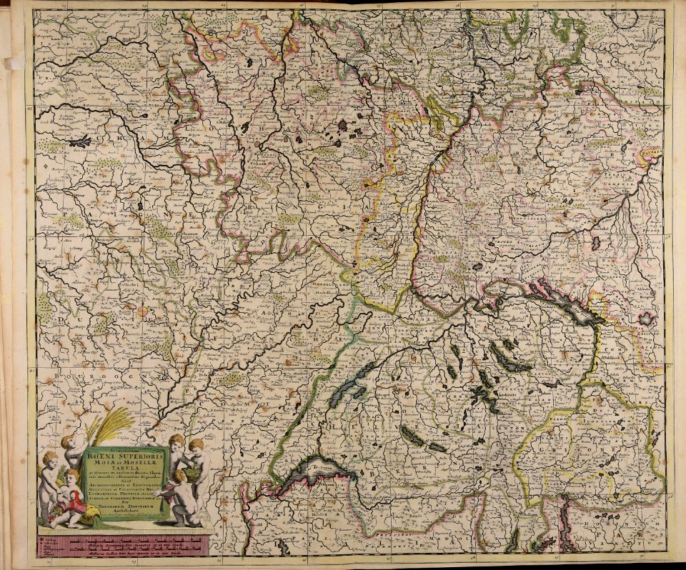
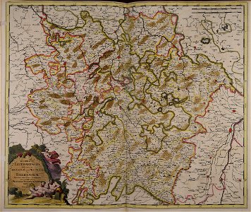
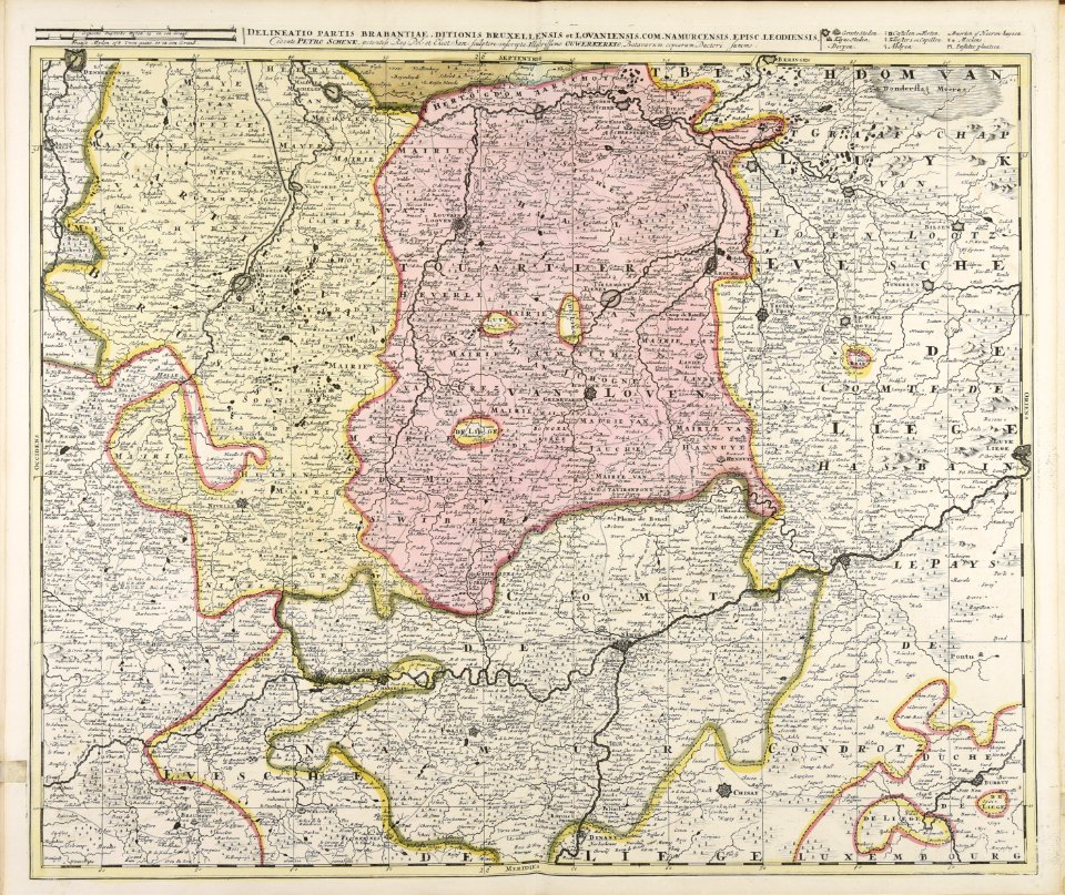
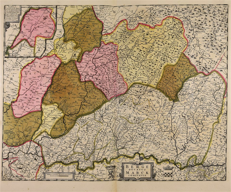
old maps of north rhine-westphalia
maps with cartouches
copper engraving
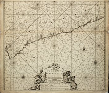
ships on maps
maps with cartouches
atlas van der hagen
old maps of the british isles
maps with cartouches
atlas van der hagen
old maps of france
maps with cartouches
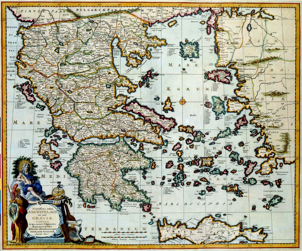
old maps of greece
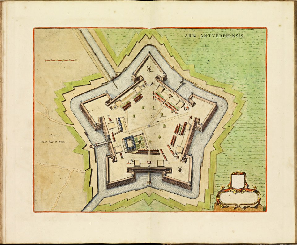
maps of antwerp city walls
frederick de wit
maps of reading abbey
reading
braun & hogenberg
ships on maps
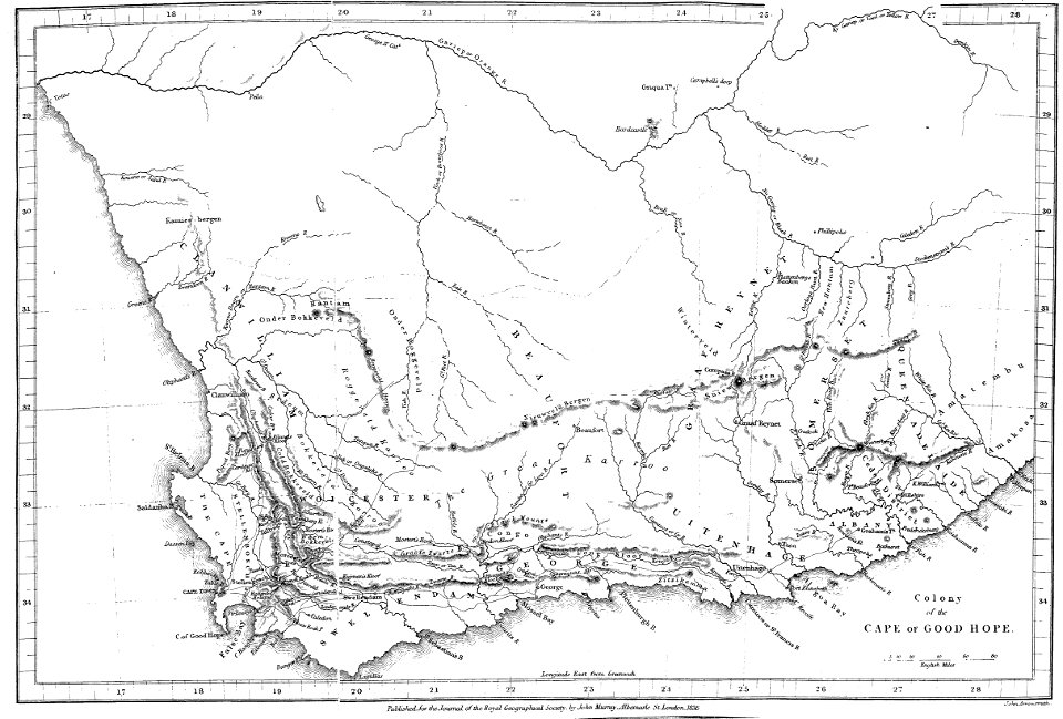
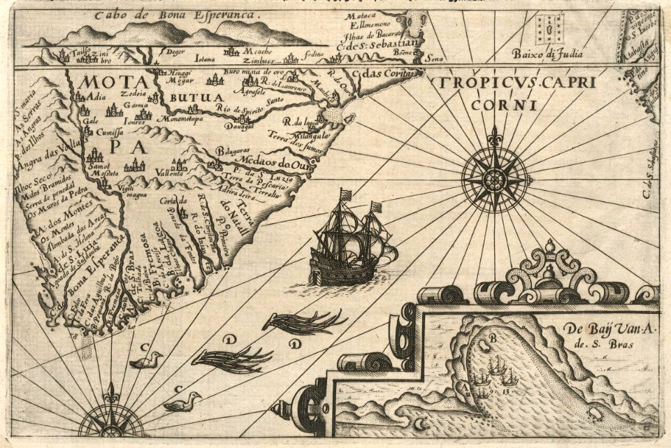
maps of rivers of south africa
mountains of south africa
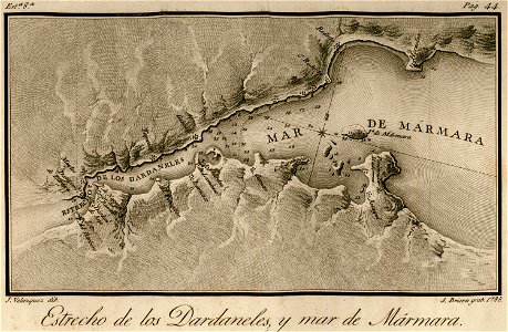
maps of the sea of marmara
viage á constantinopla
hand-drawn maps and views of world war i battlefields by h.m.
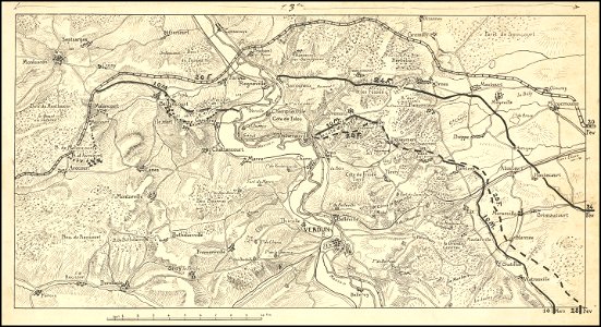
western front maps of world war i
hand-drawn maps and views of world war i battlefields by h.m.
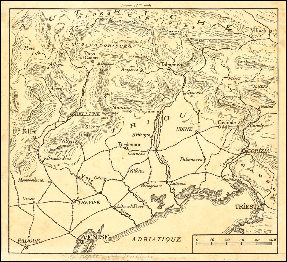
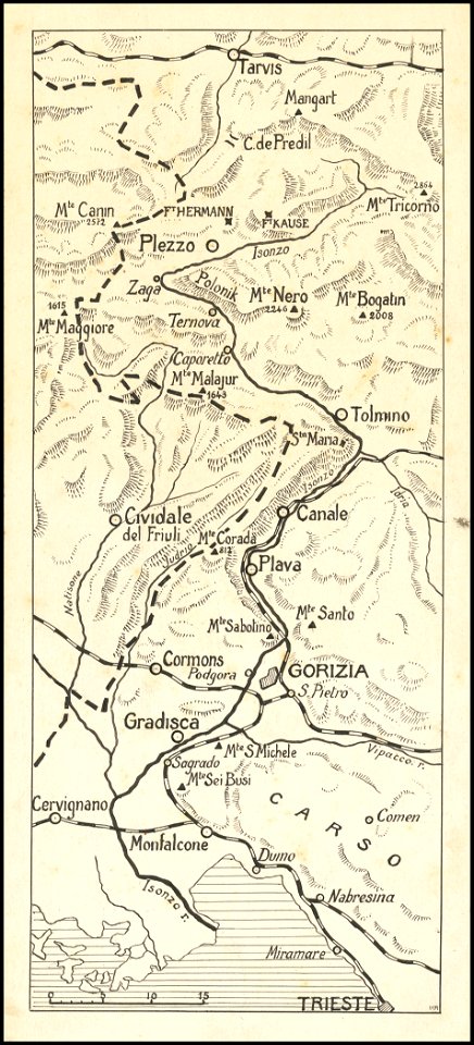
maps of world war i - italian front
hand-drawn maps and views of world war i battlefields by h.m.
western front maps of world war i
hand-drawn maps and views of world war i battlefields by h.m.
western front maps of world war i
hand-drawn maps and views of world war i battlefields by h.m.
western front maps of world war i
hand-drawn maps and views of world war i battlefields by h.m.
maps of world war i - italian front
18th-century maps of africa
engravings by jan luyken
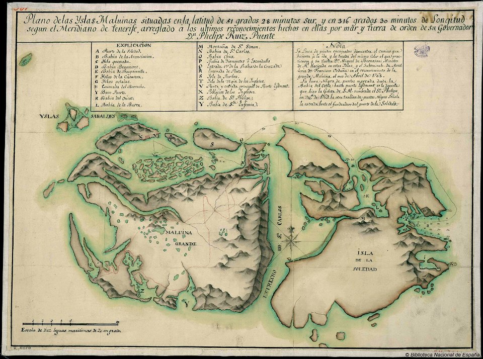
old maps of the falkland islands
history of the falkland islands
maps made in the 17th century
jan janssonius
volume 3 of le tour du monde
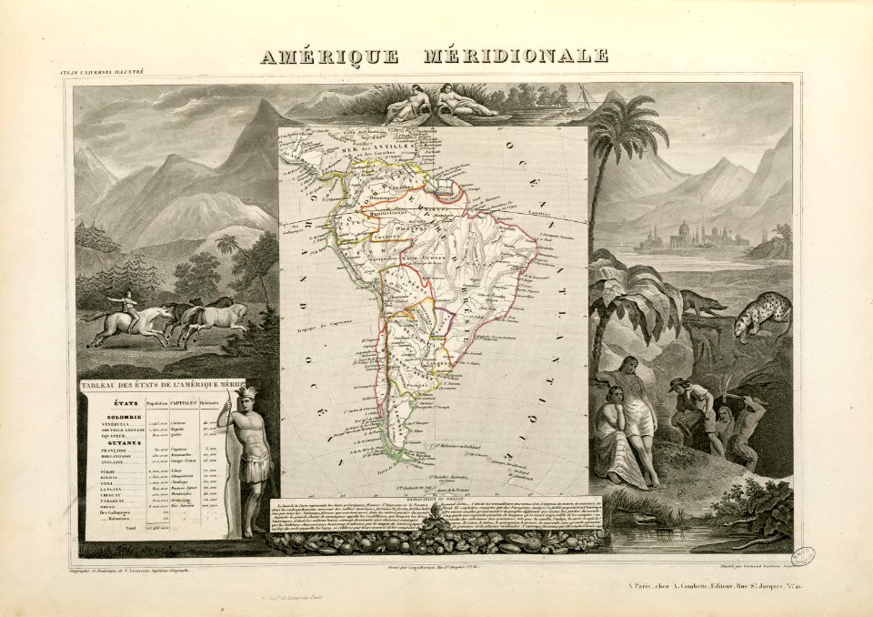
maps by alexandre vuillemin
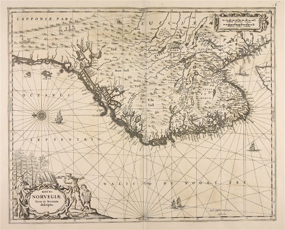
maps by willem and johannes blaeu
maps made in the 17th century
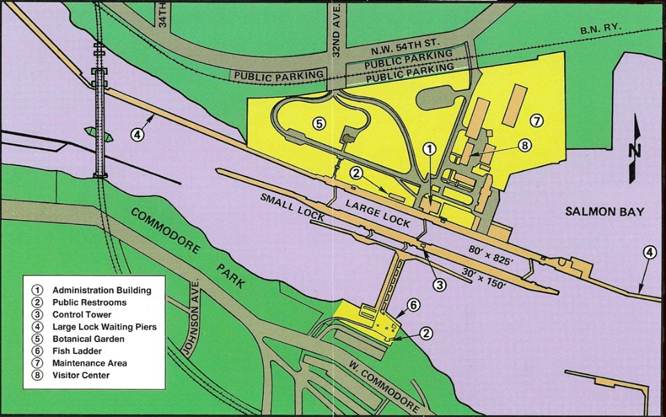
ballard locks
fish ladder
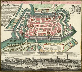
historical images of lüneburg
maps by matthäus seutter
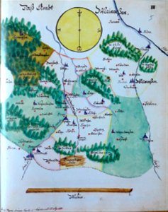
edemissen
meinersen
historic views of konstanz
bishopric of constance
fonds ancely - bibliothèque municipale de toulouse - maps
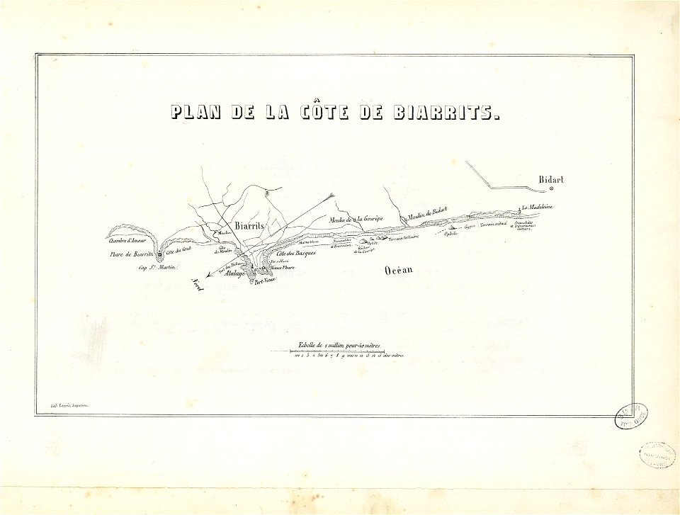
historical images of biarritz
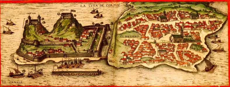
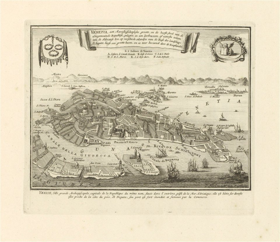
old maps of venice
carolus allard
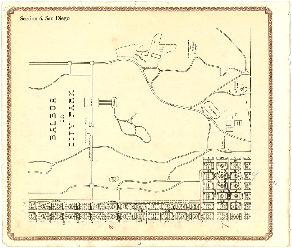
california
san diego
maps made in the 17th century
jan janssonius
images from the john carter brown library
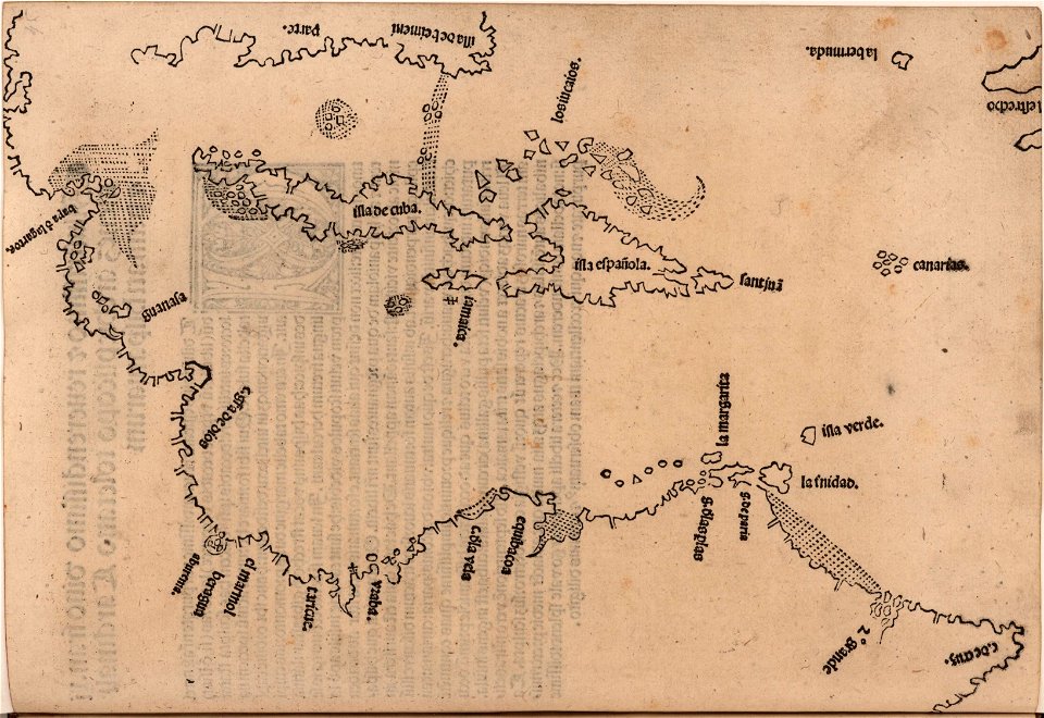
1510s maps of the caribbean
atlantis magni tomus primus (biblioteca comunale di trento)
maps made in the 17th century
engravings by matthäus merian
engraved maps
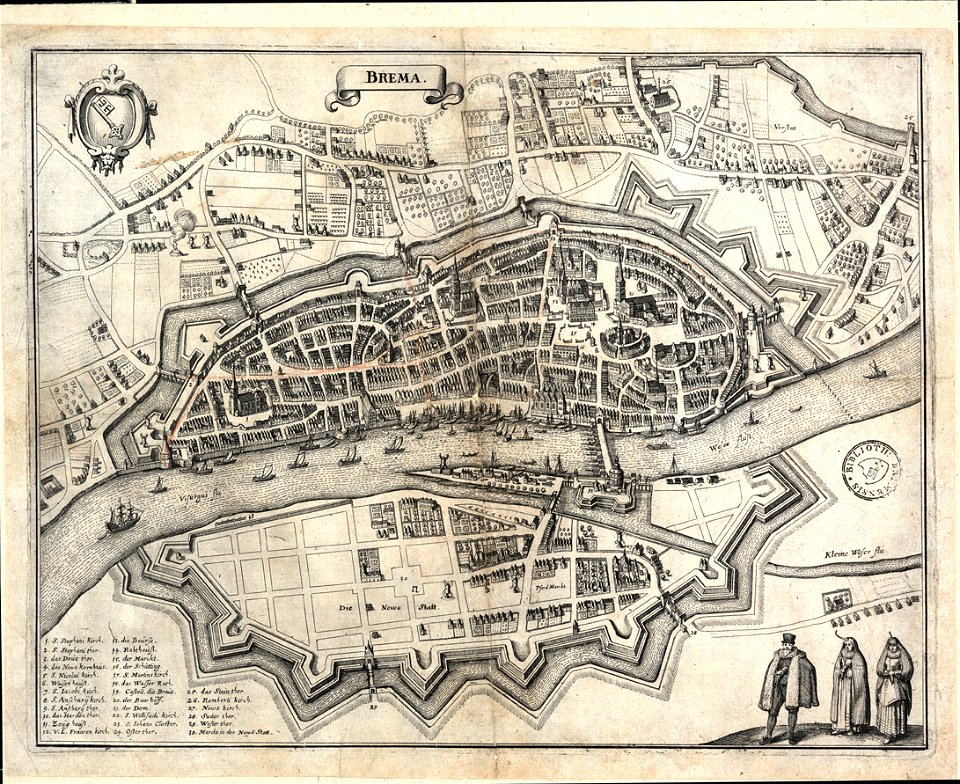
bremen in topographia saxoniae inferioris (merian)
old maps of bremen (state)
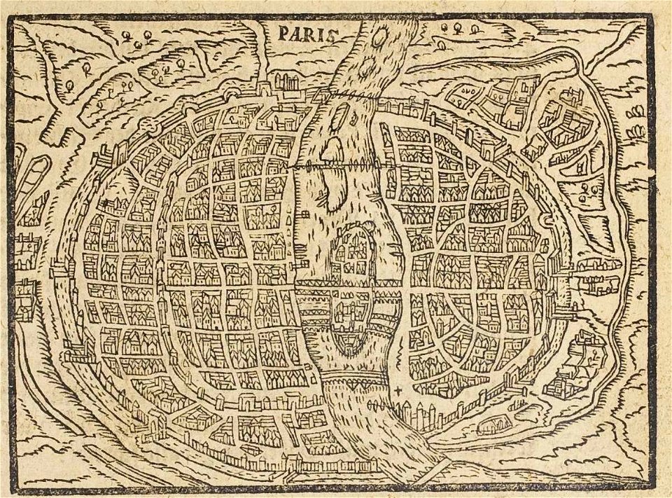
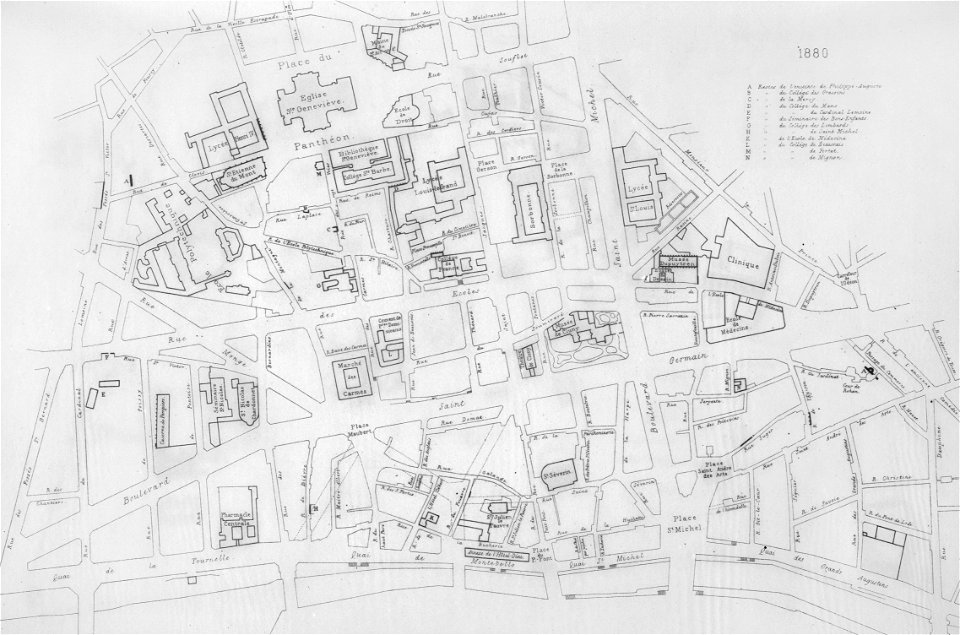
17th-century maps of paris
paris in the 16th century
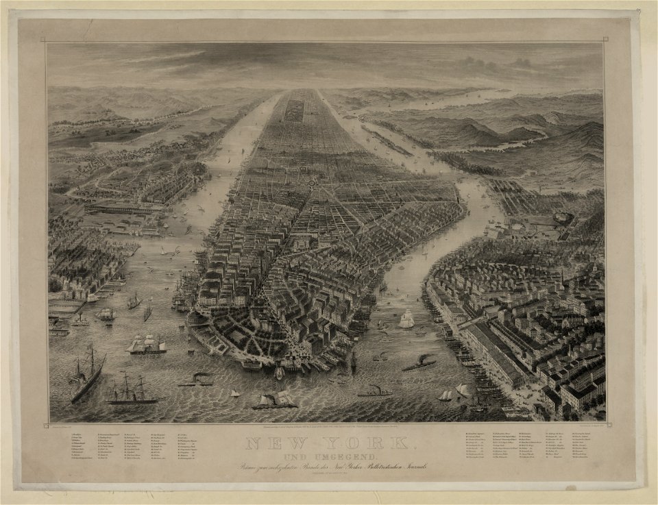
bird's eye view maps of new york city
1867 in new york city
maps made in the 17th century
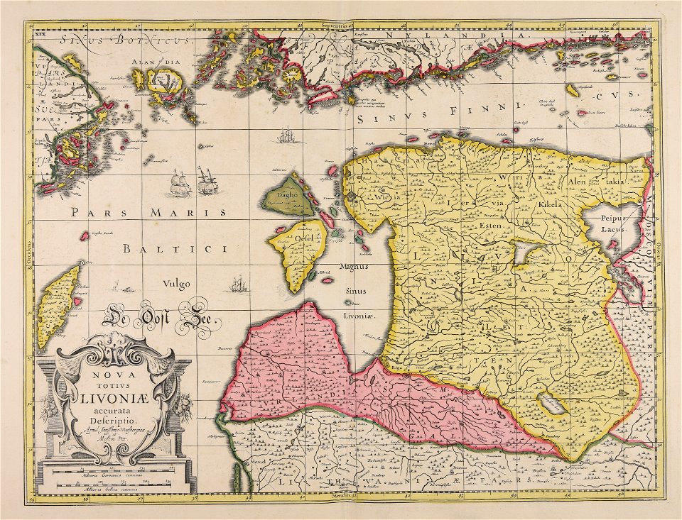
livonia
atlantis magni tomus primus (biblioteca comunale di trento)
maps made in the 17th century
heinrich keller
aussersihl
braun & hogenberg
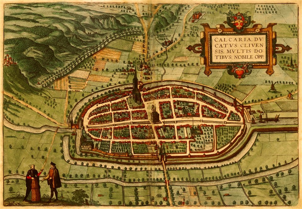
maps of kalkar
description of kingdom of georgia
its habits and canons
the hague stork in art
old maps of the hague
fonds ancely - bibliothèque municipale de toulouse - maps
coats of arms of cities in mayenne
coats of arms of cities in haute-marne
charles-guillaume étienne
fonds ancely - bibliothèque municipale de toulouse - maps
louis-marie de la révellière-lépeaux
coats of arms of rhône
louis gabriel suchet
fonds ancely - bibliothèque municipale de toulouse - maps
victor levasseur - maps of france
fonds ancely - bibliothèque municipale de toulouse - maps
coats of arms of cities in doubs
roch-ambroise cucurron sicard
frédéric-auguste laguillermie
victor levasseur - maps of the world
historical images of arecaceae
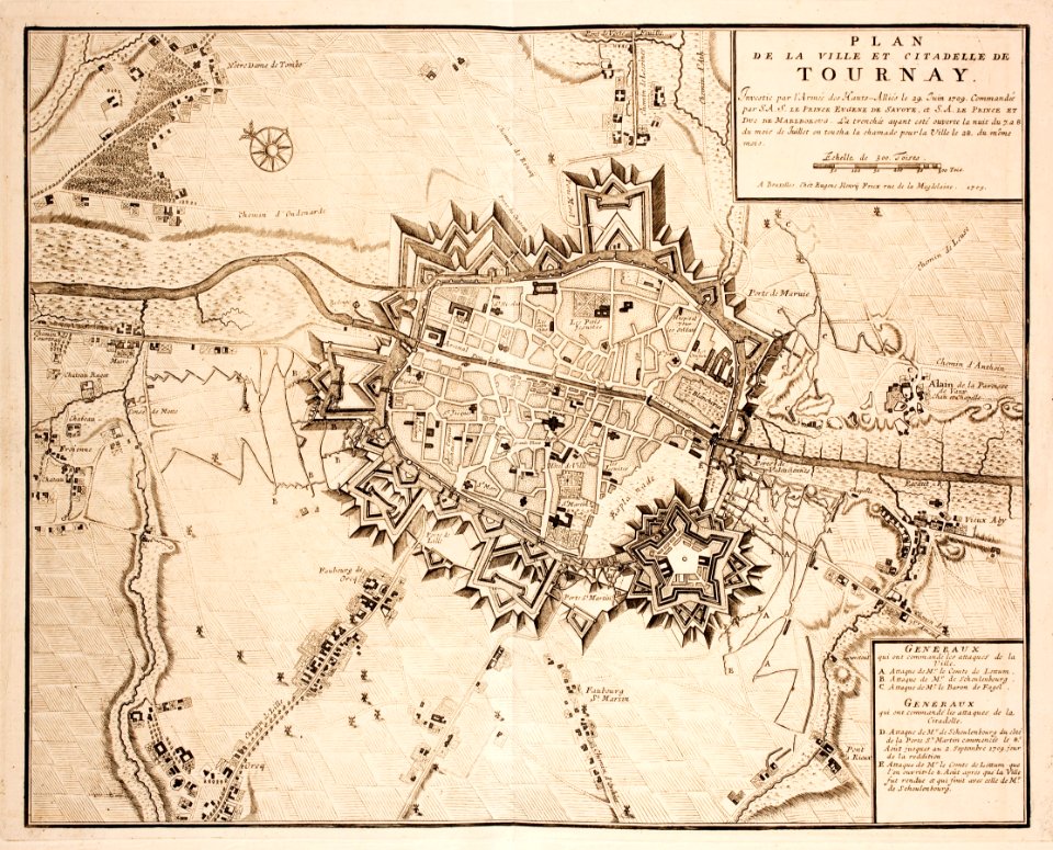
old maps of tournai
tournai
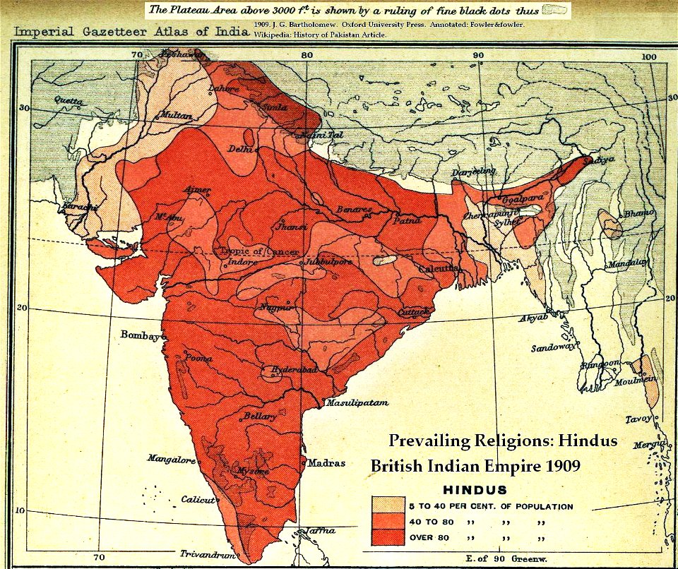
old maps of the indian subcontinent
hindus
drawings by john robert cozens in the yale center for british art
old maps of lazio
collections de la bibliothèque nationale et universitaire de strasbourg
maps of strasbourg in the 18th century
history of mansfeld land
gerard valck
maps by willem and johannes blaeu
hudson valley
carte de france by guillaume delisle (1721)
philippe buache
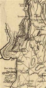
fort ticonderoga
john burgoyne
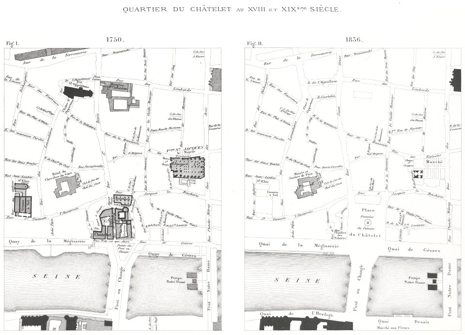
lithographs of paris
grand châtelet
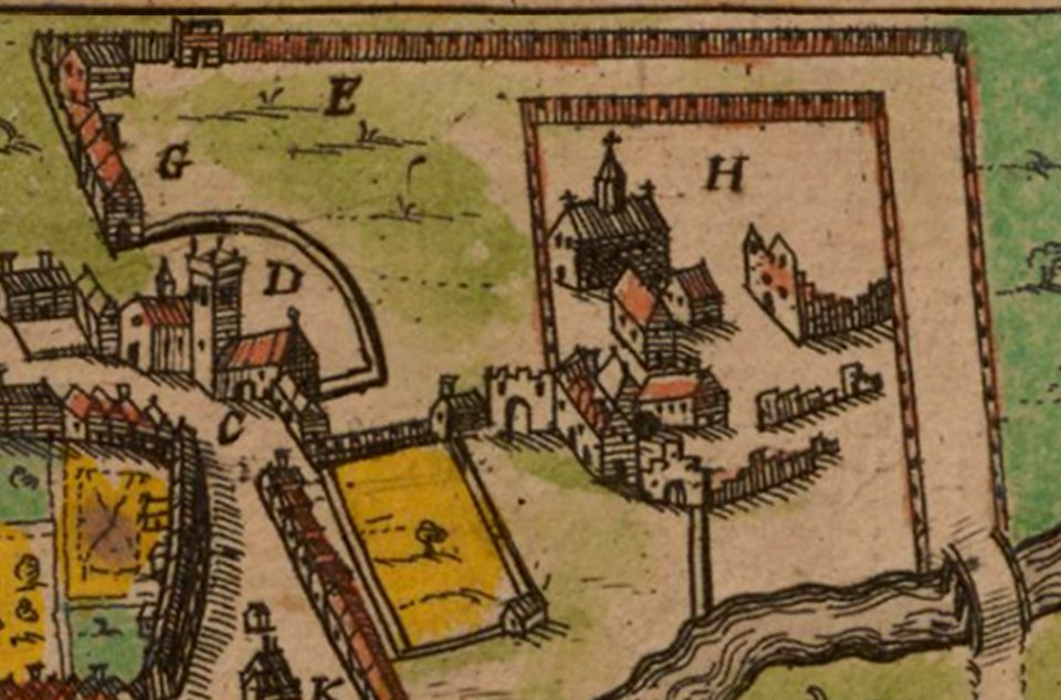
merksem
lillo
maps made in the 17th century
gerard valck
prints from mémoires des commissaires du roi et de ceux de sa majesté britannique at the peace palace library
jean ignace de la ville
19th-century portrait paintings of women with black dresses
females with chokers in art
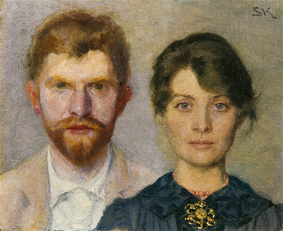
19th-century self-portraits with wife
19th-century oil on canvas paintings
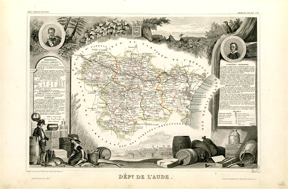
coats of arms of cities in aude
coats of arms of aude
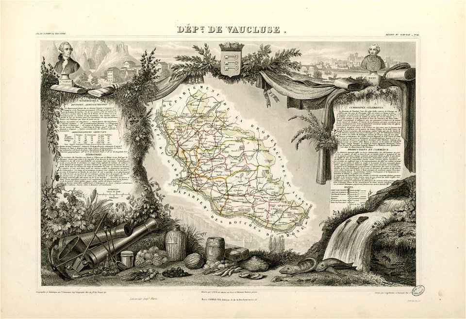
coats of arms of cities in vaucluse
works after joseph vernet
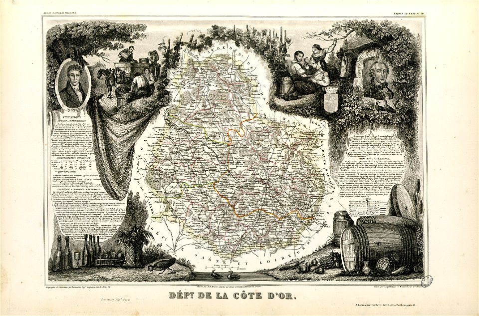
old maps of côte-d'or
lazare carnot
dutch 18th-century prints in the rijksmuseum amsterdam
hendrik de leth
lithographs of paris
université de paris
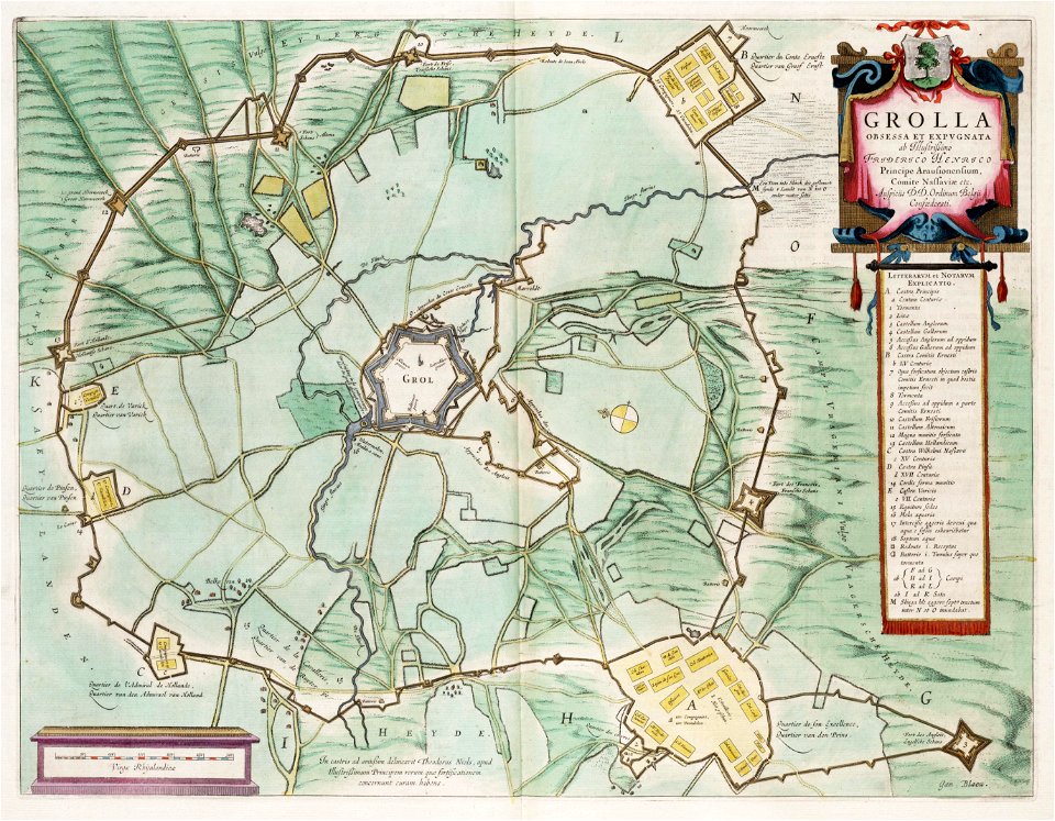
circumvallatielinie (groenlo)
coats of arms on maps
1867 engravings
new york city
maps made in the 17th century
old maps of europe
maps made in the 18th century
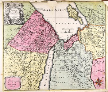
1720s maps of egypt
1822 in bavaria
ehrenbürg
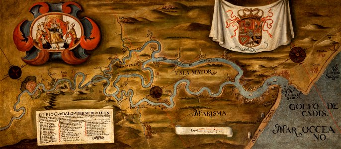
guadalquivir
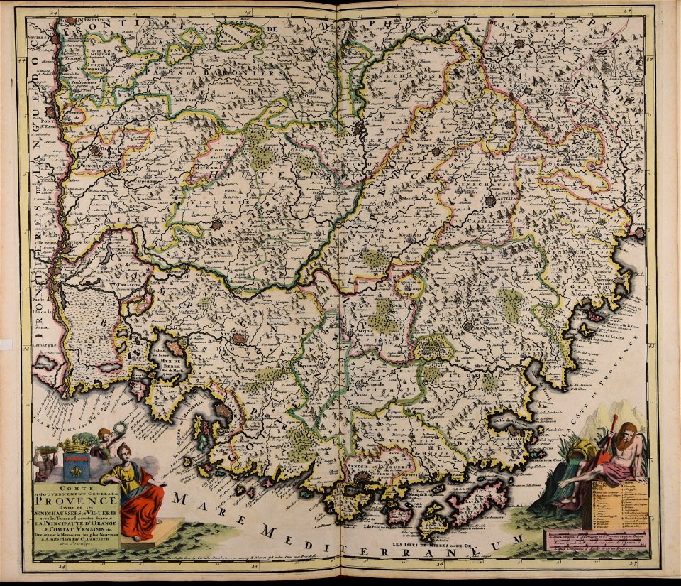
1760 maps
maps made in the 18th century
gerard valck
voyage pittoresque de la grèce
i̇zmir in the 18th century
maps of the eastern mediterranean
bodleian library
maps made in the 17th century
cornelis danckerts (i)
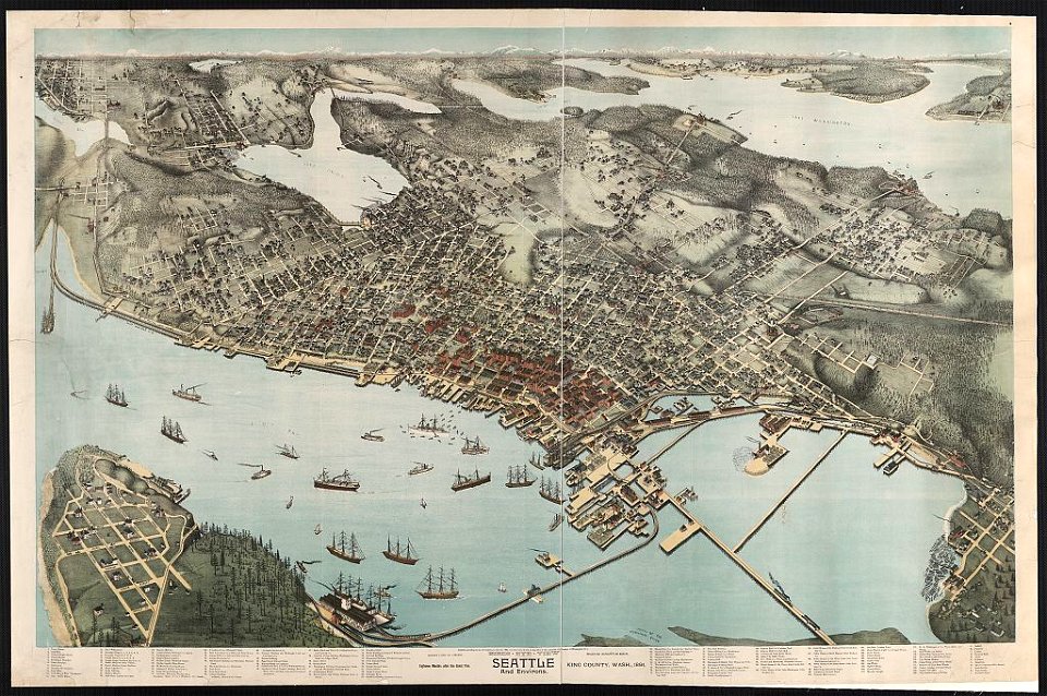
lithographs of cities in the united states
1891 in seattle
maps made in the 17th century
jan janssonius
maps made in the 18th century
gerard valck
maps of the dutch east india company - madagascar
1598
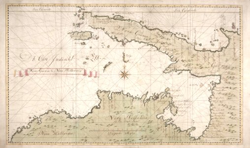
new holland (australia)
1720s
maps of the dutch east india company - sri lanka
1765
trịnh lords
1665
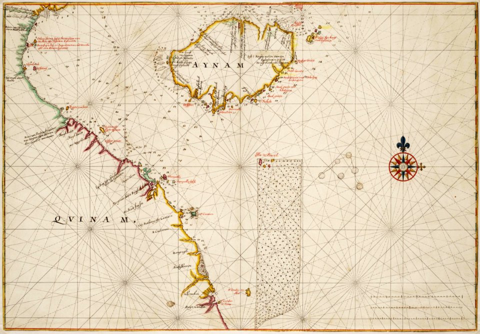
18th-century maps of indonesia
banda islands
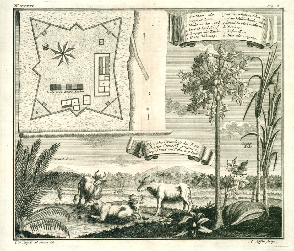
batavia
1740
18th-century maps of indonesia
1744
atlantis magni tomus tertius (biblioteca comunale di trento)
maps made in the 18th century
atlantis magni tomus primus (biblioteca comunale di trento)
maps made in the 17th century
maps made in the 18th century
belgio
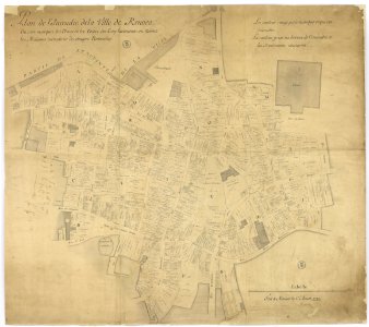
great rennes fire of 1720
old maps of rennes
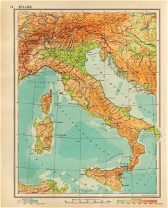
geographical atlas for the 5-6 grades of secondary school (1941)
old maps of italy
maps made in the 17th century
maps of the county of mark
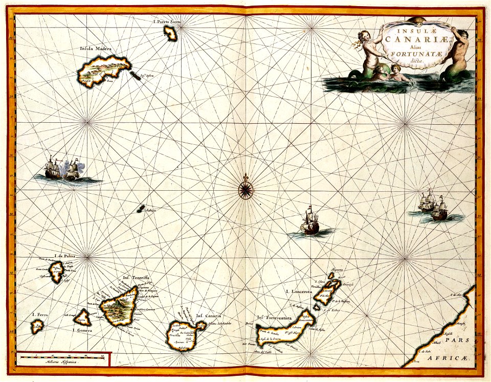
old maps of the canary islands
1667
atlas van der hagen
copper engraving
maps with cartouches
atlas van der hagen
maps with cartouches
copper engraving
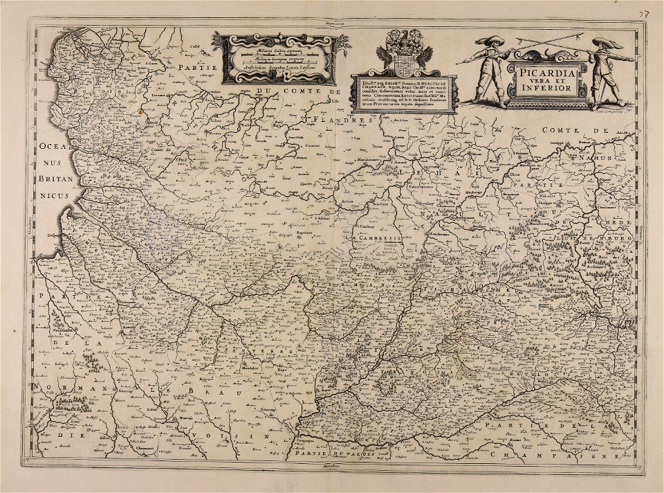
17th-century maps of france
maps with cartouches
7501 - 7600 of 40,080
Next page
/ 401